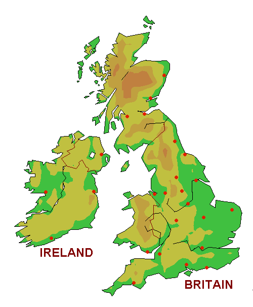
The relief (Level curves : 85m, 150m, 270m, 450m) of the (GFS) weather model may differ from the real one: the mountains are leveled and forecasts are given at mean height within a radius of some tens of kilometers around the chosen point and not necessarily at real height.
Please help me to translate my site and to correct my faults:

")
